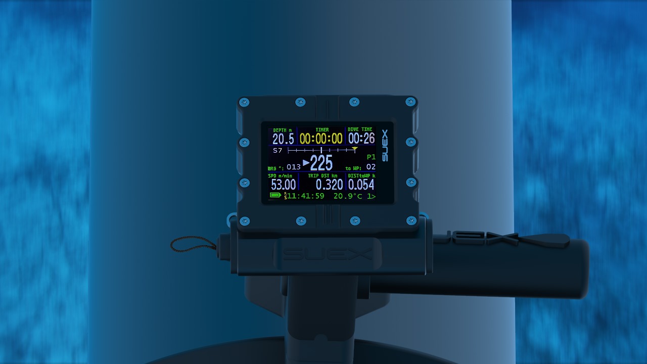
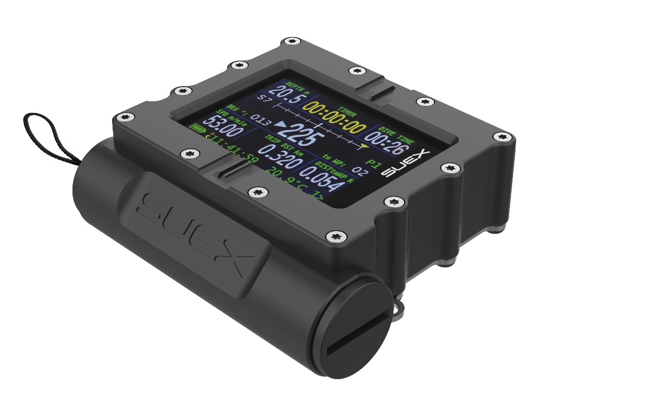
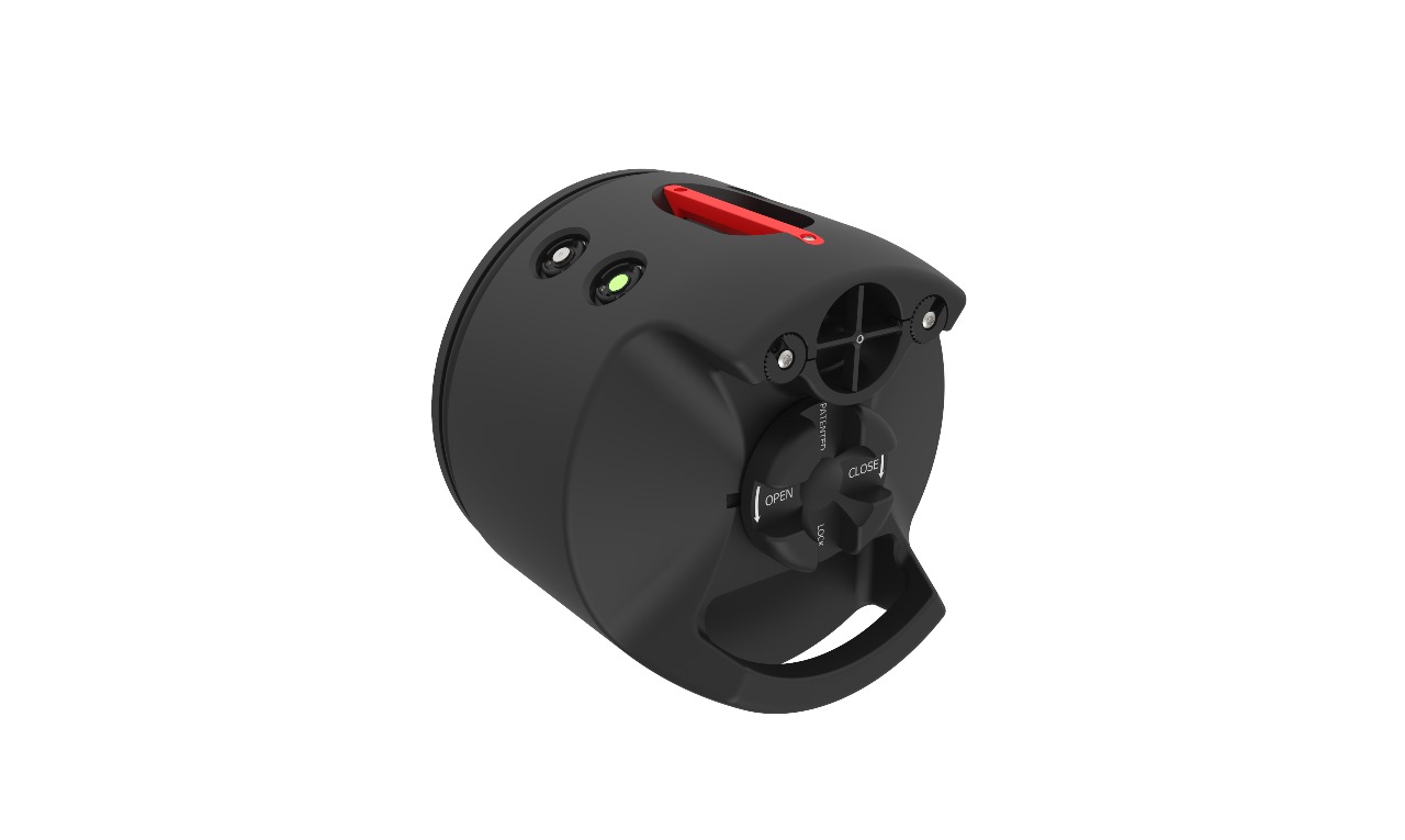
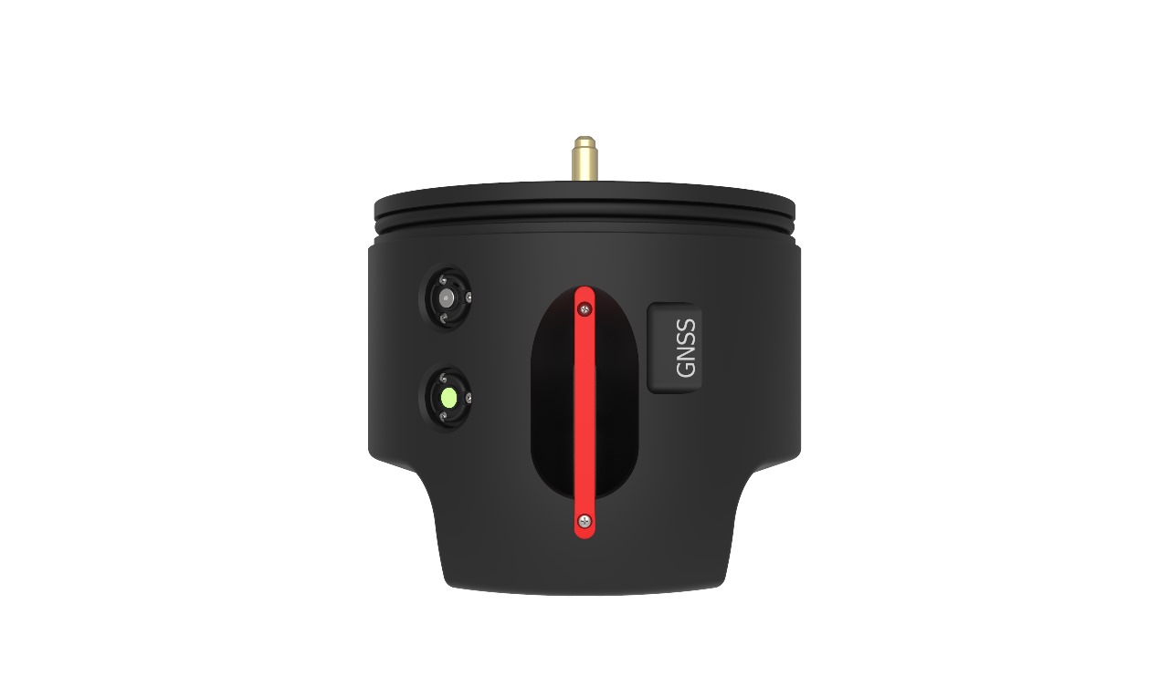
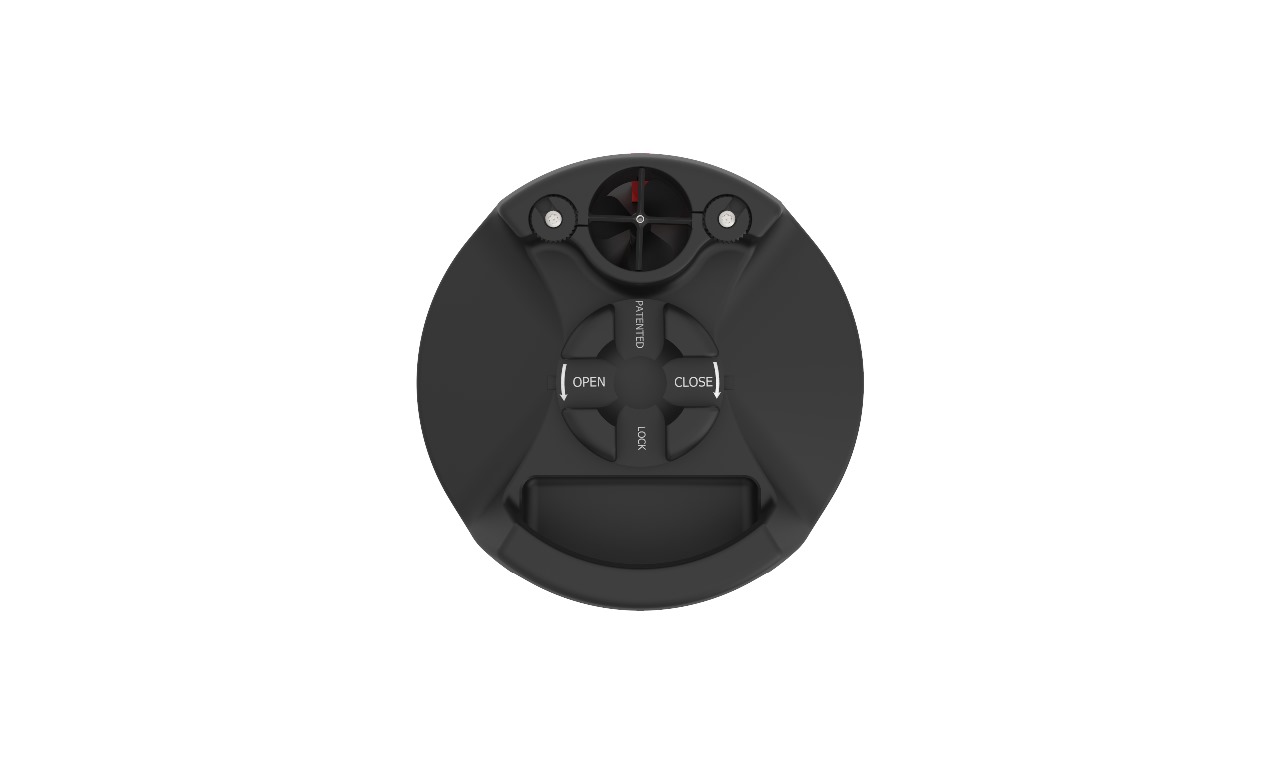
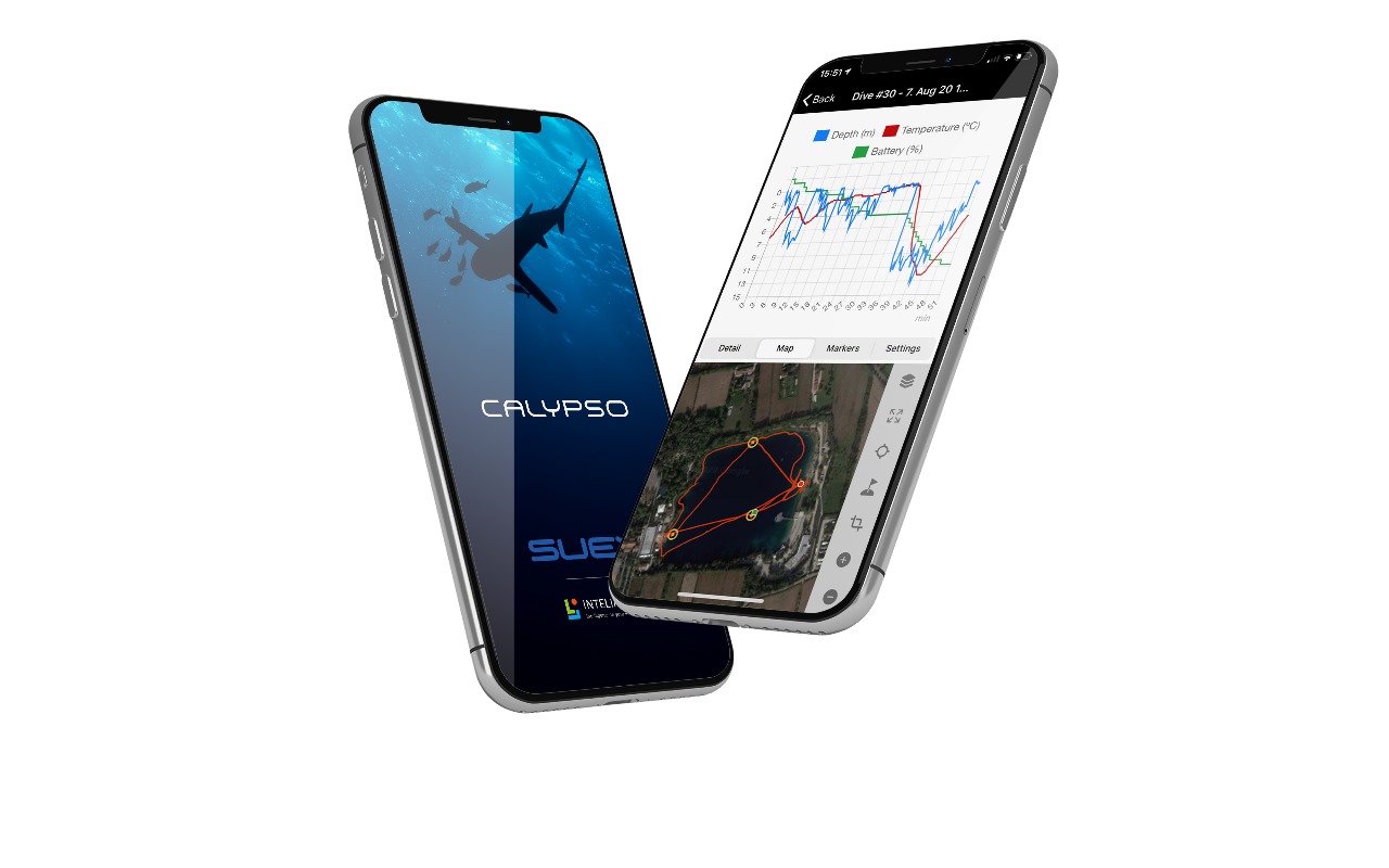
With the evolution of marine exploration technologies, precise underwater navigation has become a significant challenge, particularly due to the ineffectiveness of GPS systems in aquatic environments. To address this issue, a groundbreaking navigation system has been developed, enabling divers to move confidently in a three-dimensional environment.
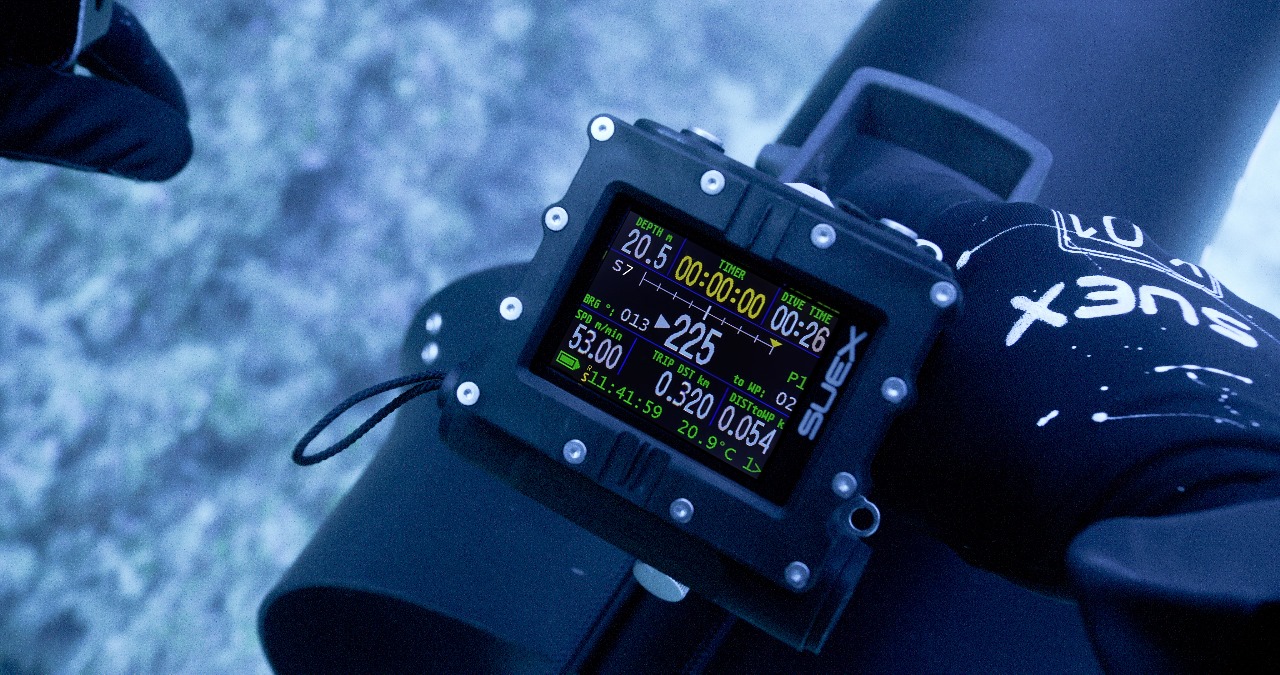
This system relies on integrating accurate data from accelerometers, gyroscopes, and magnetometers to determine directions, combined with recording a surface reference point using GNSS before the dive. This mechanism allows divers to navigate precisely, chart their paths, and safely return to their starting point.
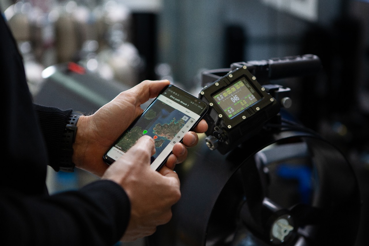
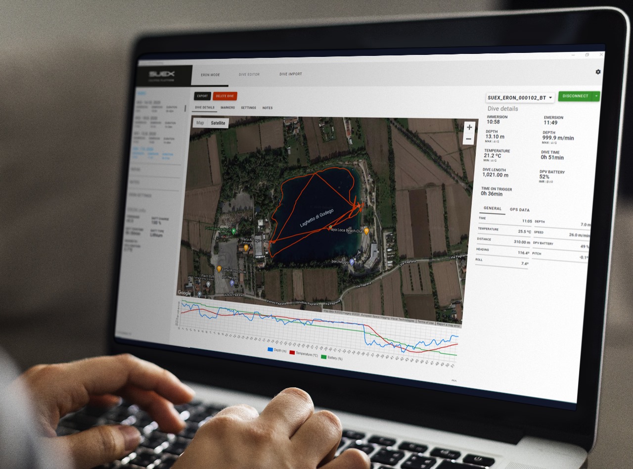
Moreover, the system records the routes taken by divers, enabling them to upload these paths to computers or visualize them on Google Earth. These recorded routes can be reused for future exploration or used to design entirely new courses.
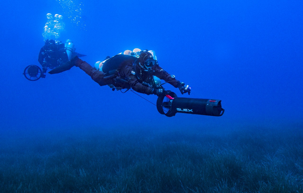
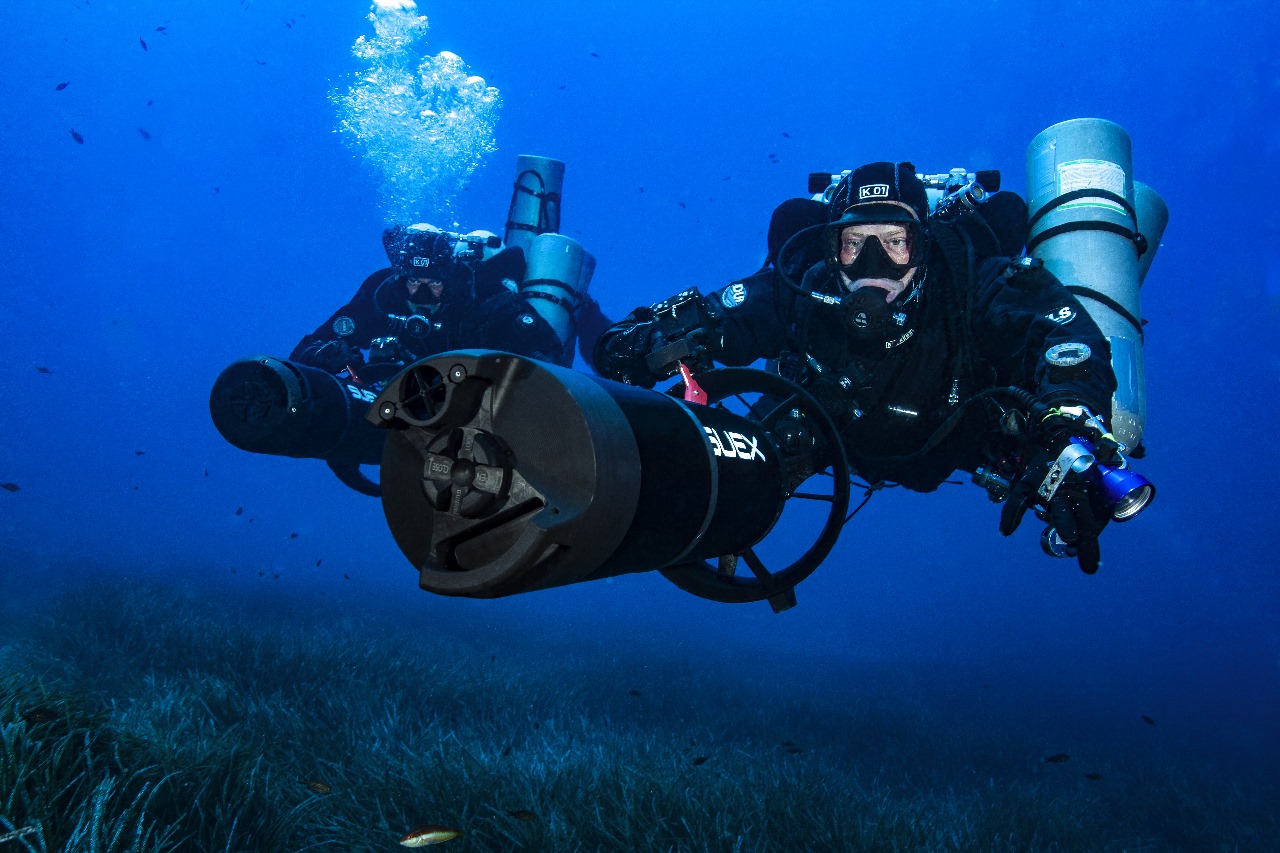
This innovative technology represents a significant leap in marine exploration, granting divers the precision and control Similar to that of submarine captains. It opens new horizons for safe and strategic exploration of the underwater world.


